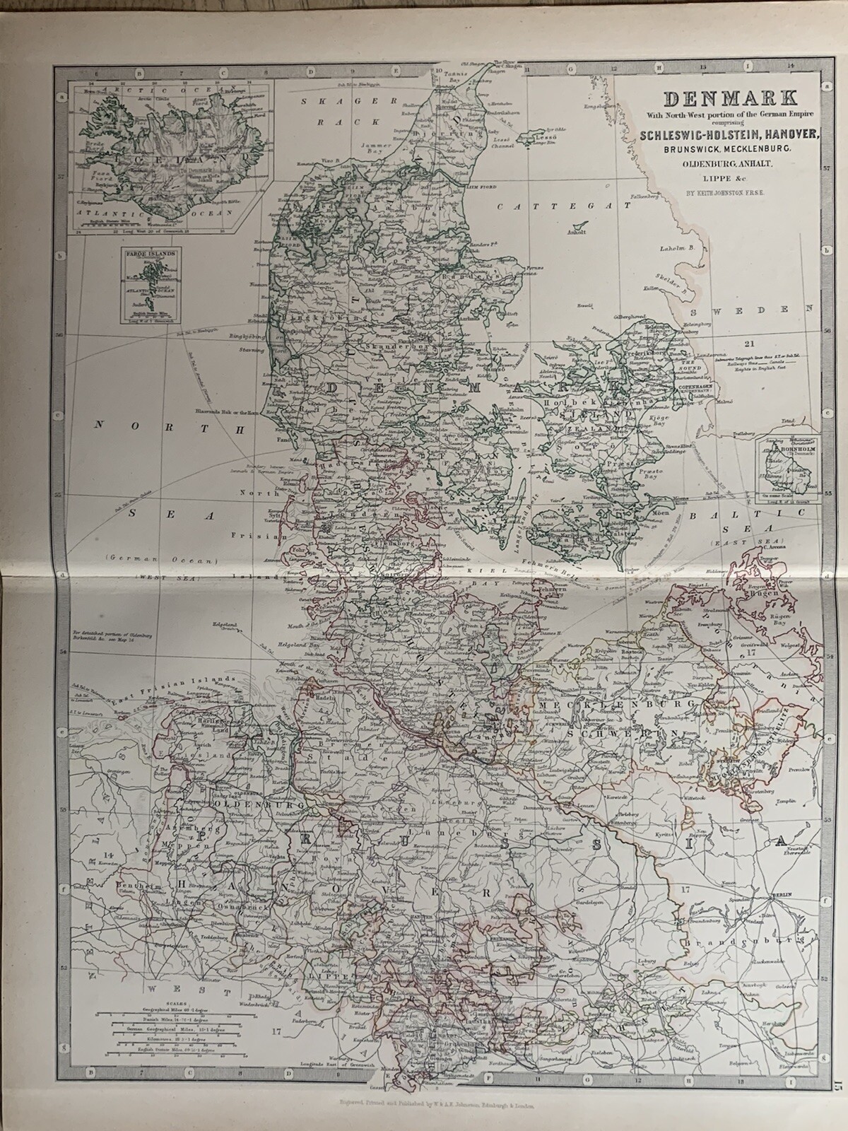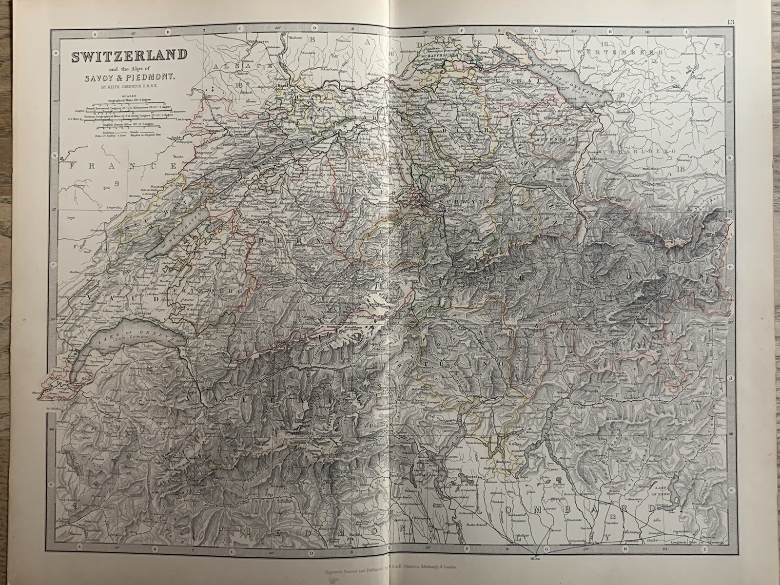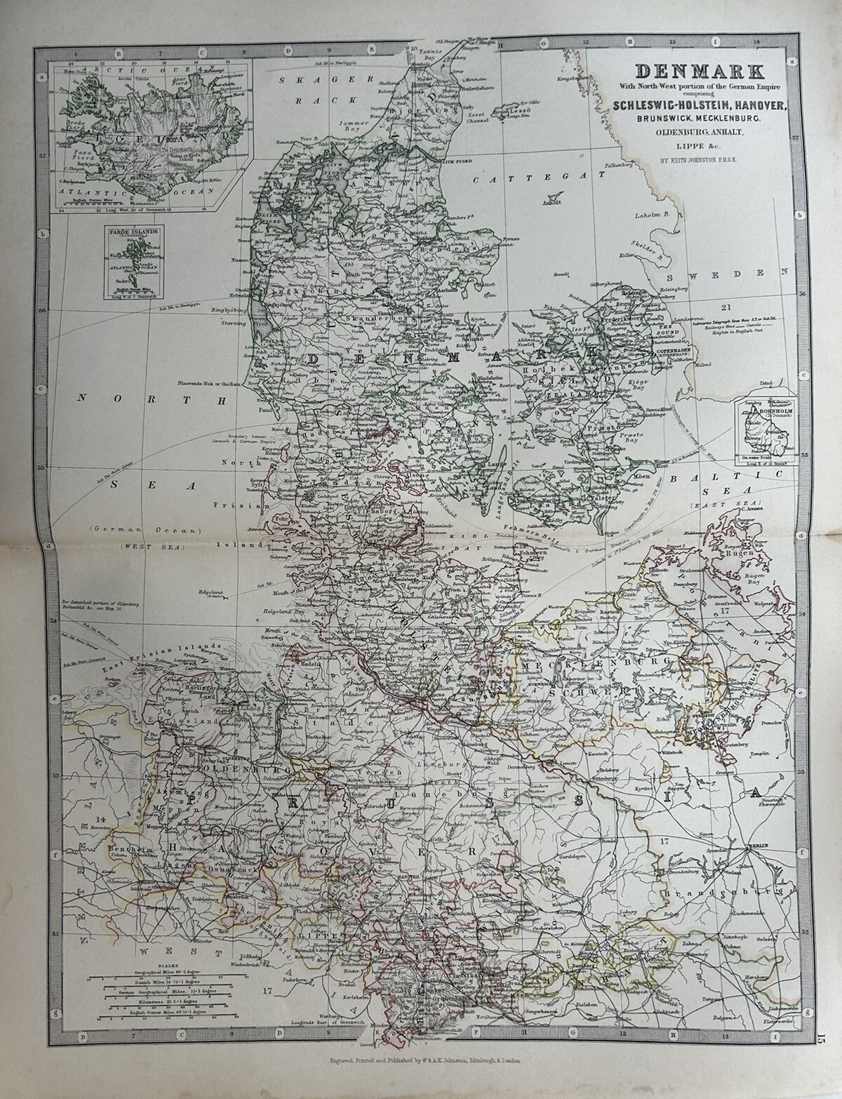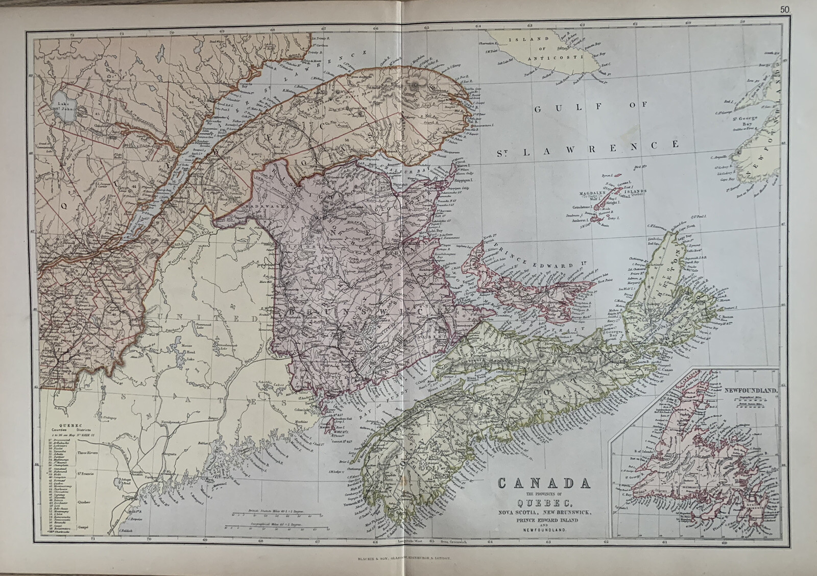
See more
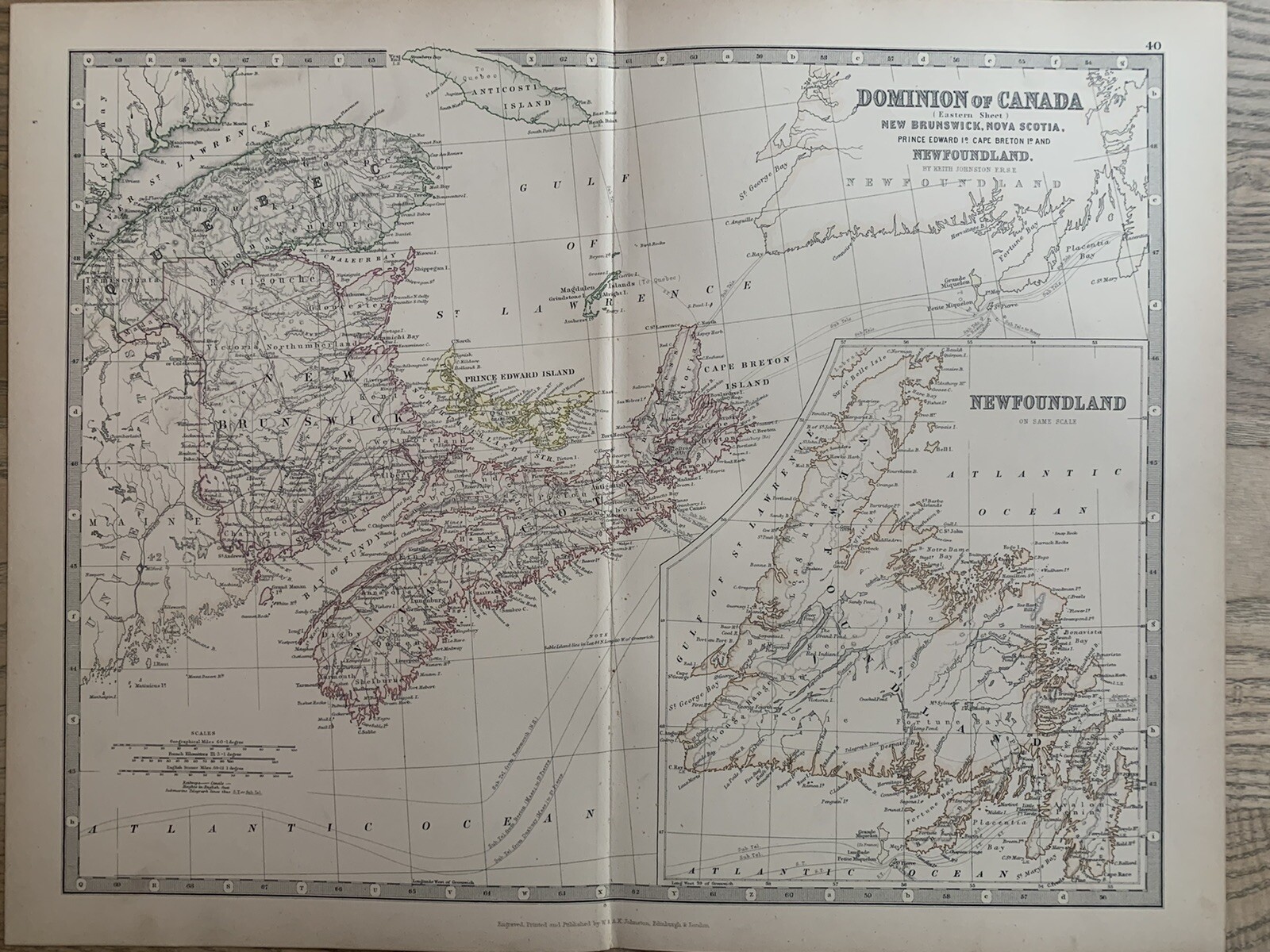
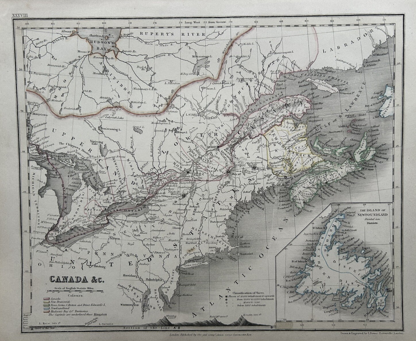
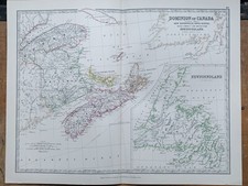
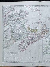
1880 EASTERN CANADA HAND COLOURED ORIGINAL ANTIQUE MAP BY JOHNSTON
USD 26.81
This original antique map is from The Handy Royal Atlas of Modern Geography by Alexander Keith Johnston, published by W. & A.K. Johnston, Edinburgh & London, 1880. This interesting map is an original antique which is 140 years old.