See more
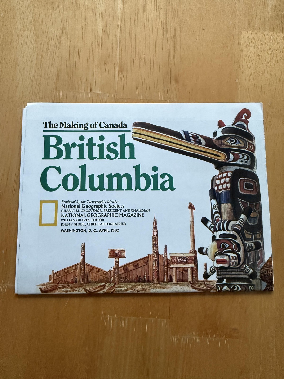
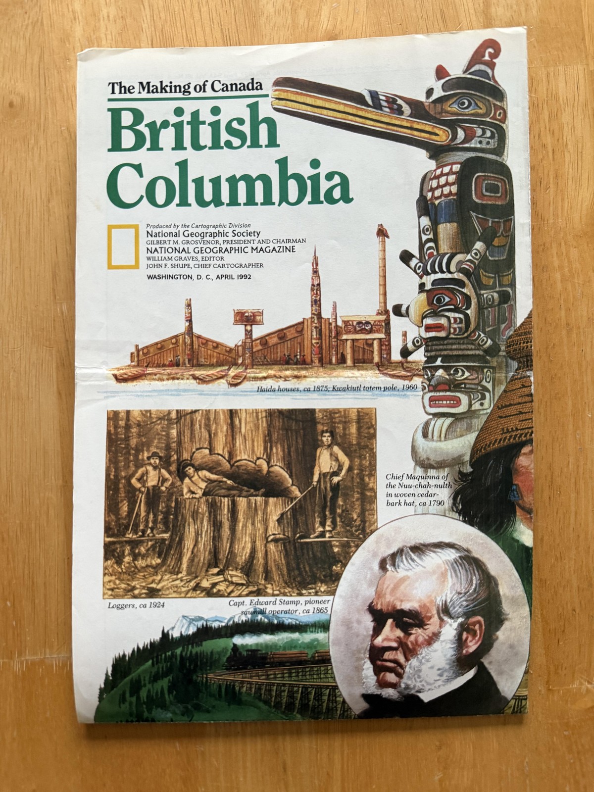
(21) Vintage US Navy Oceanographic Navigation Charts Maps, BRITISH COLUMBIA Lot
USD 145.00
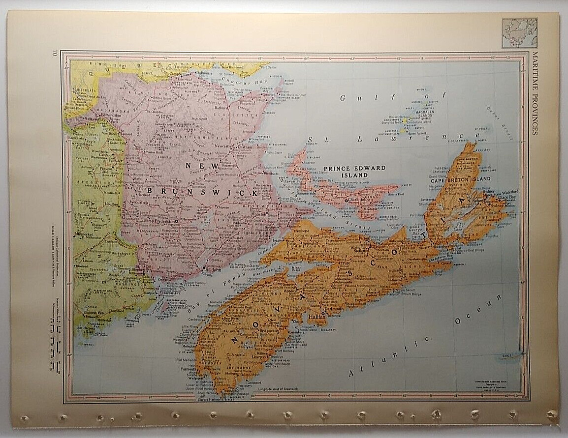
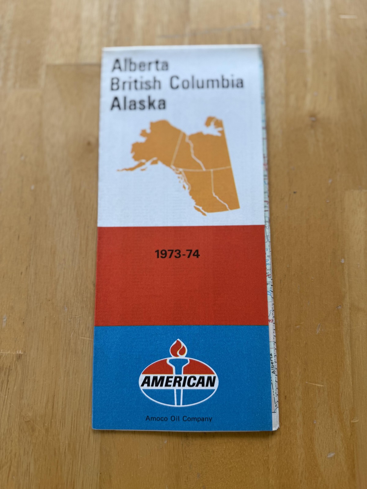
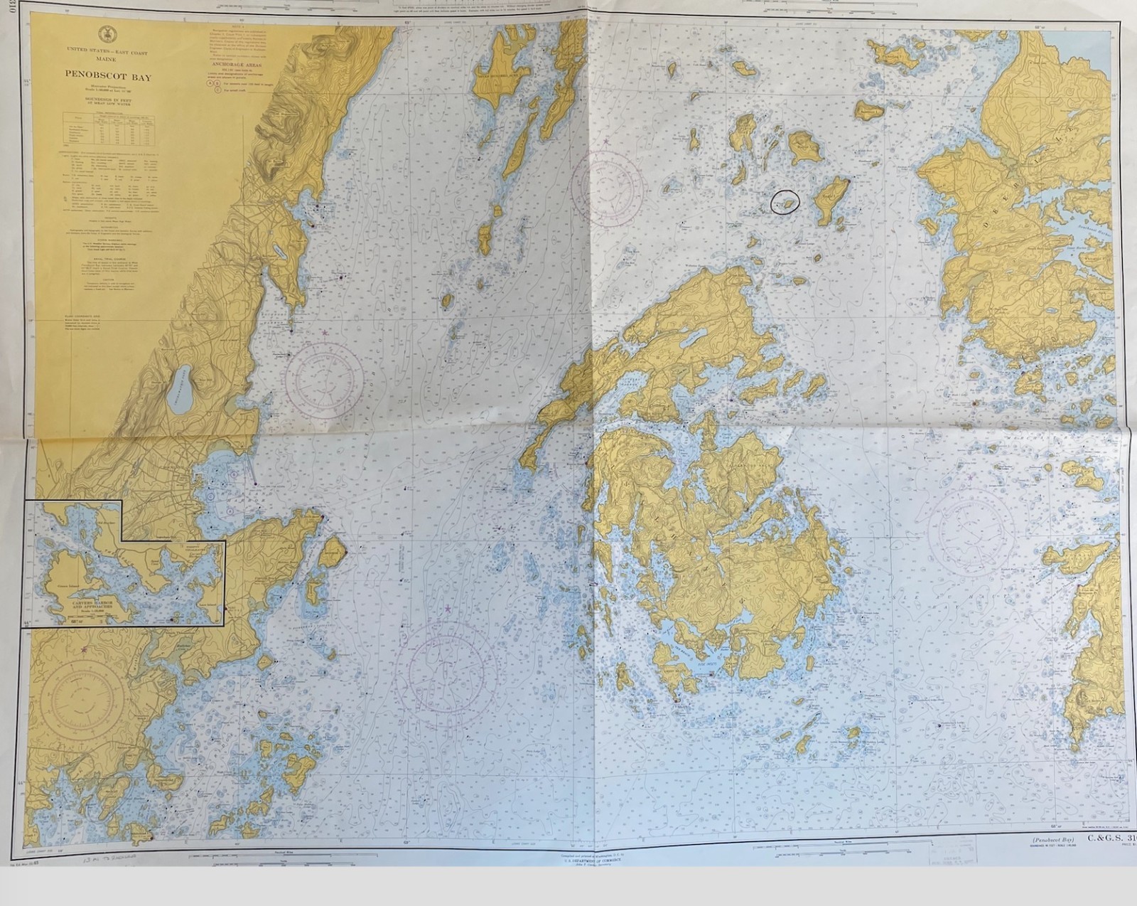
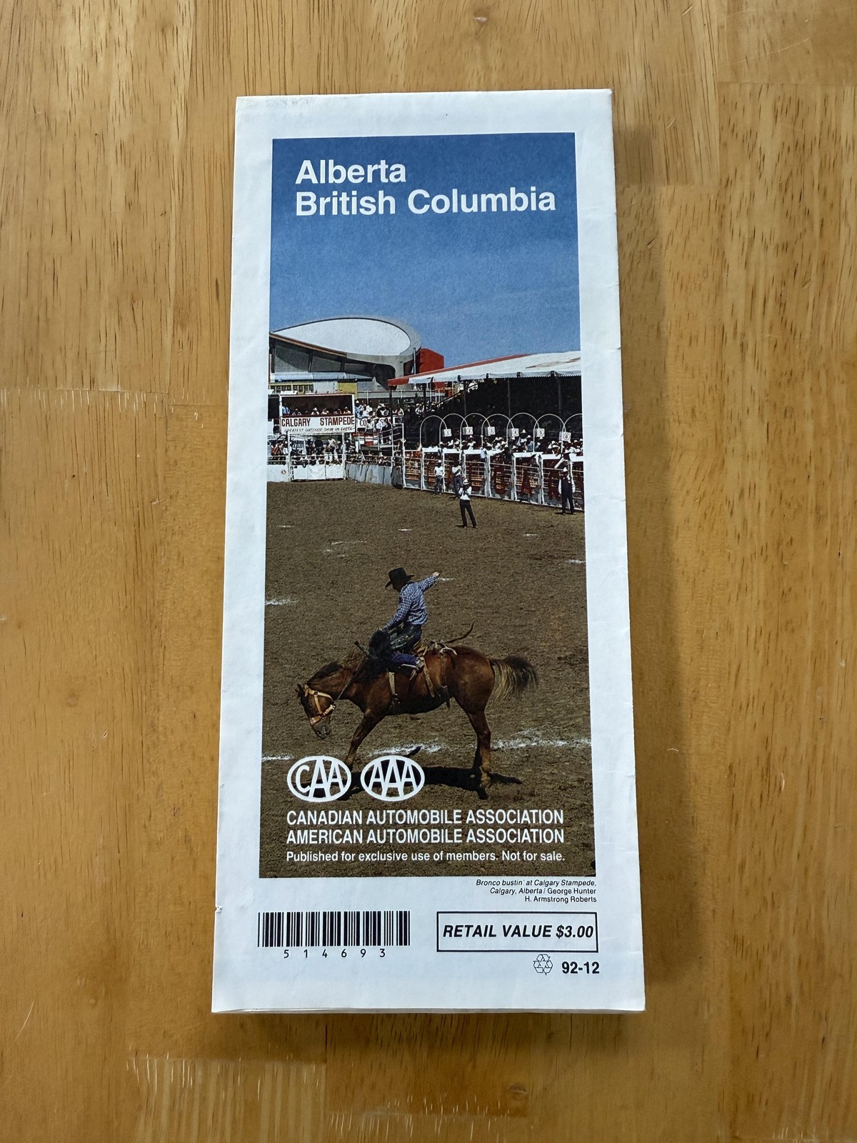
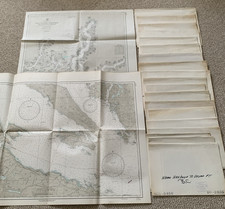
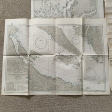
(21) Vintage US Navy Oceanographic Navigation Charts Maps, BRITISH COLUMBIA Lot. Most are stamped 1968. Includes H.O. 1453, 1454, 1583, 1773, 2091, 2161, 2168, 2169, 2185, 2605, 2801, 2824, 2826, 2828, 2829, 2835, 2838, 2839, 5373, 5375, and 5375 B. Large maps with most measuring about 25” x 68" or 30" x 42", but do vary in size. Have folds, yellowing, edge wear, and writing on outside as shown. The images themselves are in very good condition. I would be glad to provide additional photos of specific maps if needed. Shipped USPS Ground Advantage.