See more
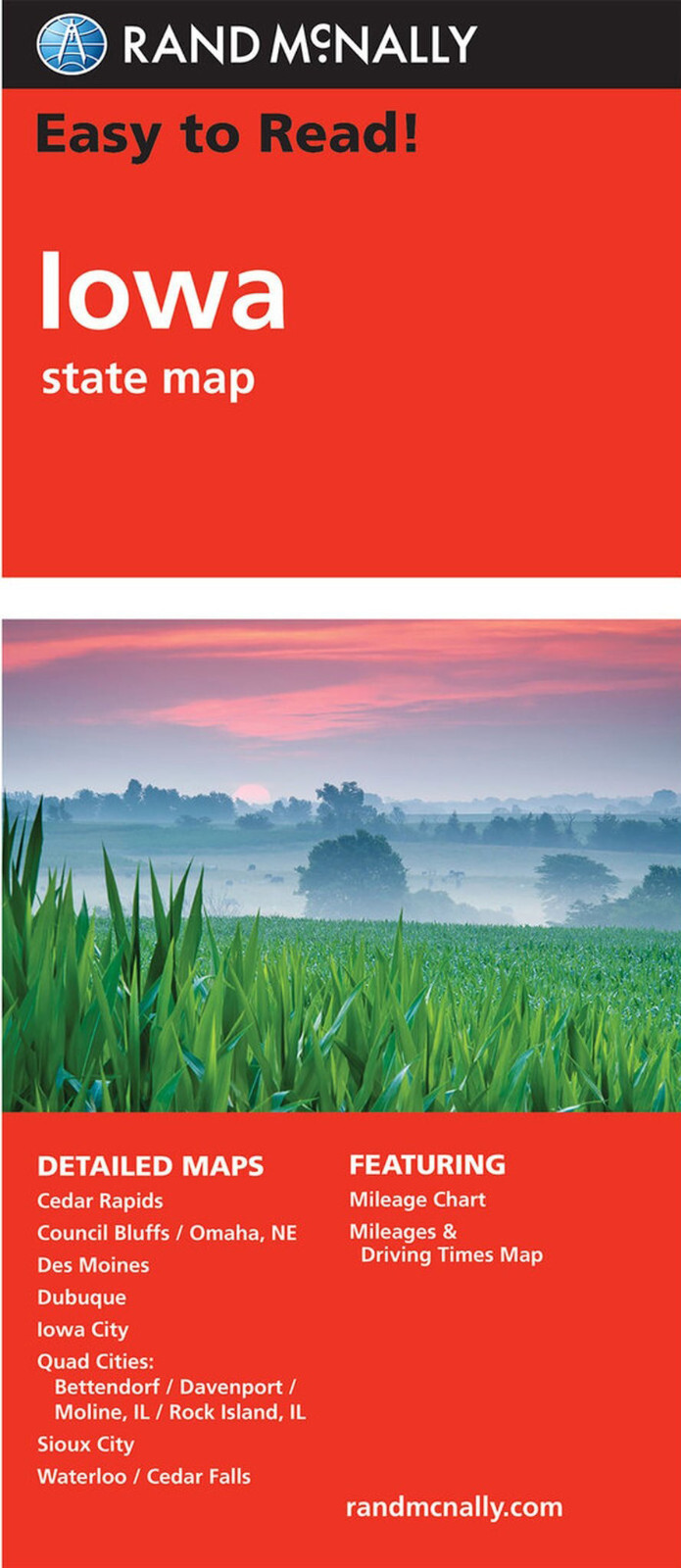
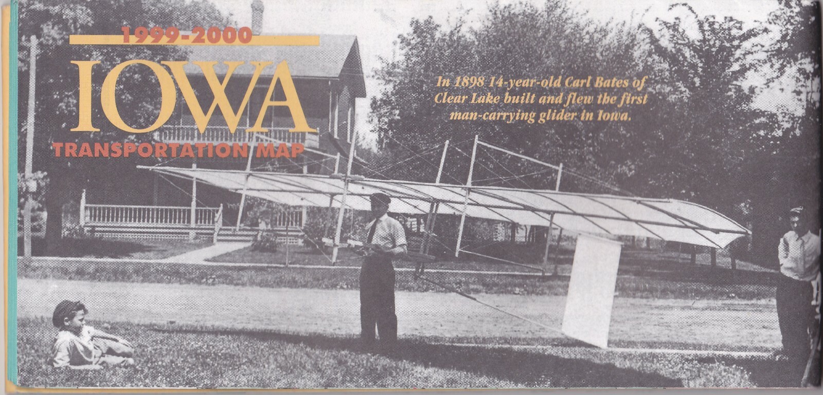
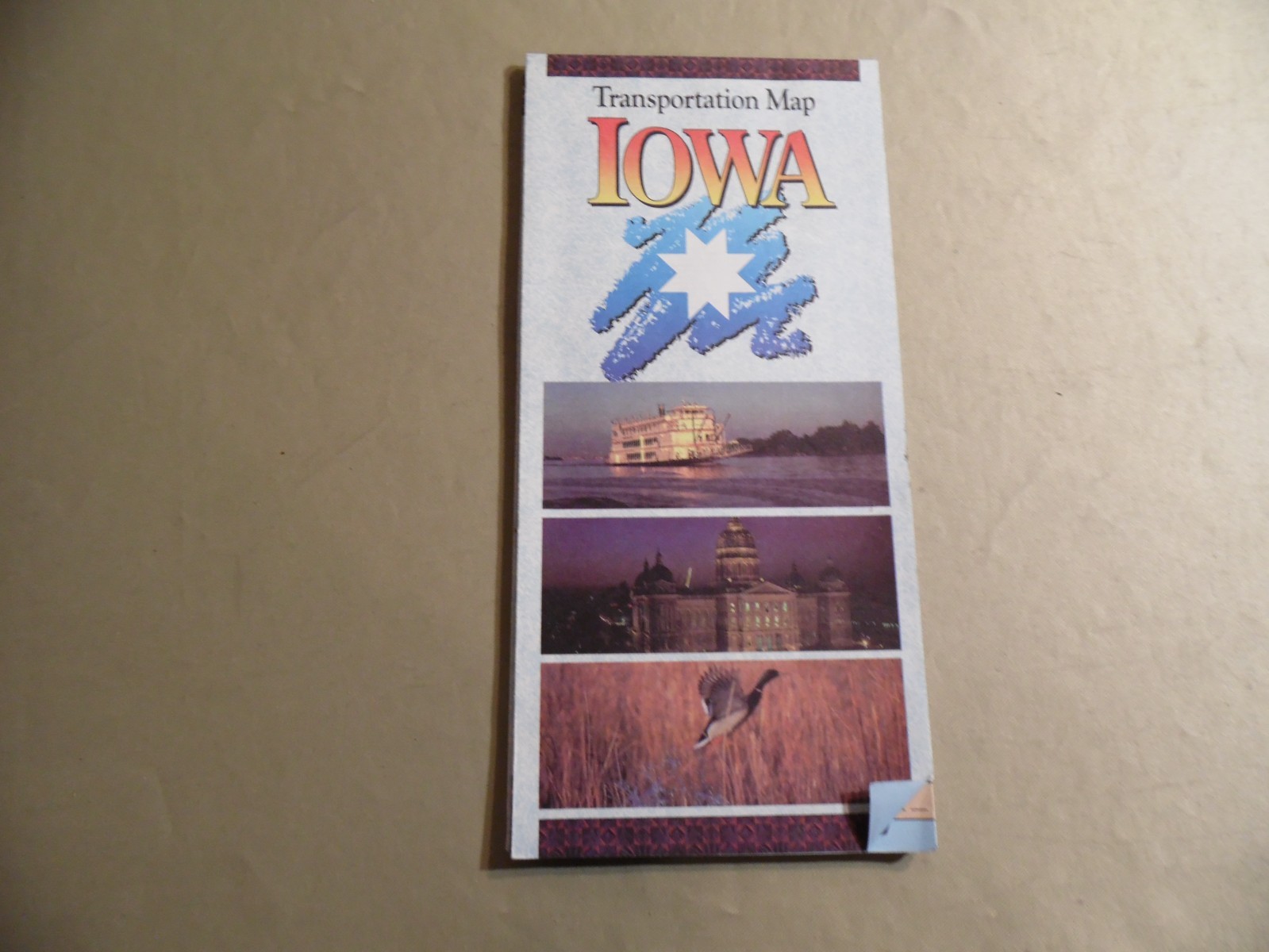
Rand McNally State Map: Iowa from 2010
USD 8.99
Rand McNally's Easy To Read State Folded Map is a must-have for anyone traveling in and around this state, offering unbeatable accuracy and reliability at a great price. Their trusted cartography shows all Interstate, U.S., state, and county highways, along with clearly indicated parks, points of interest, airports, county boundaries, and streets. This road map has an easy-to-use legend and detailed index that makes for quick and easy location of destinations. You'll see why Rand McNally folded maps have been the trusted standard for years.