See more
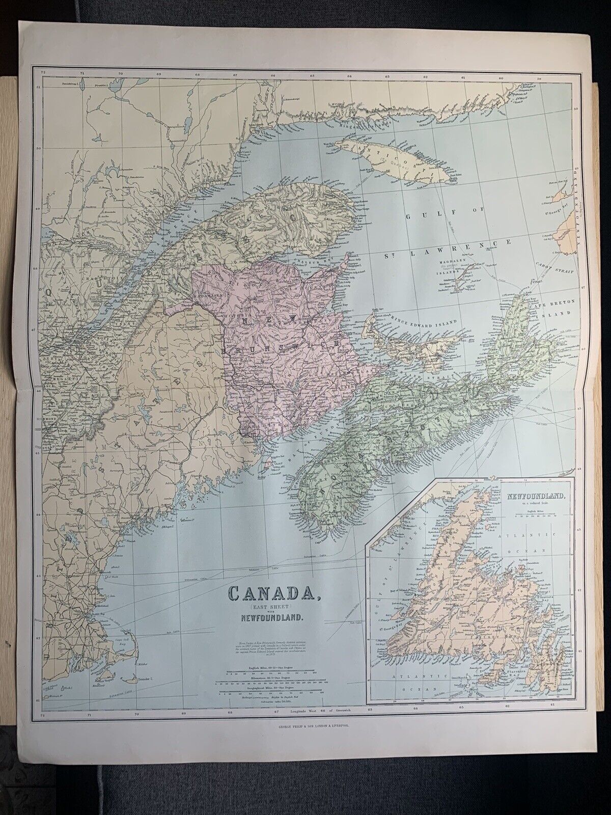
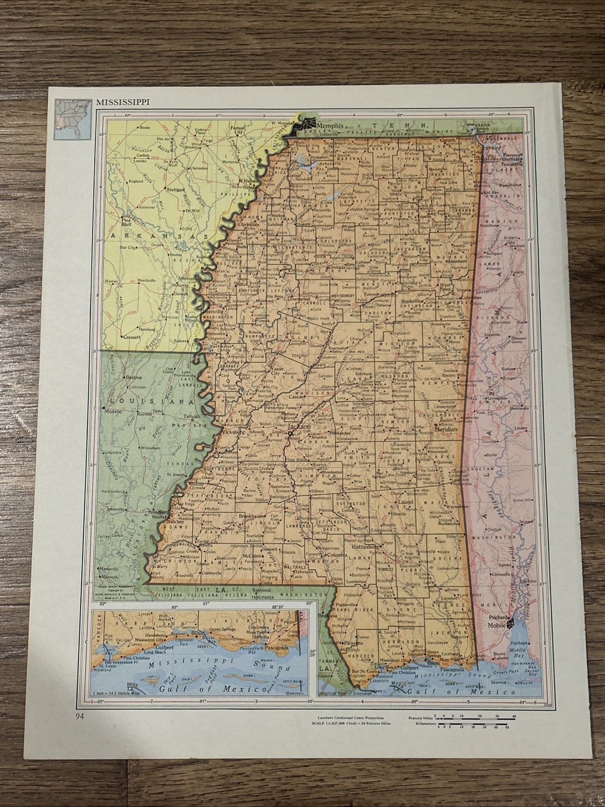
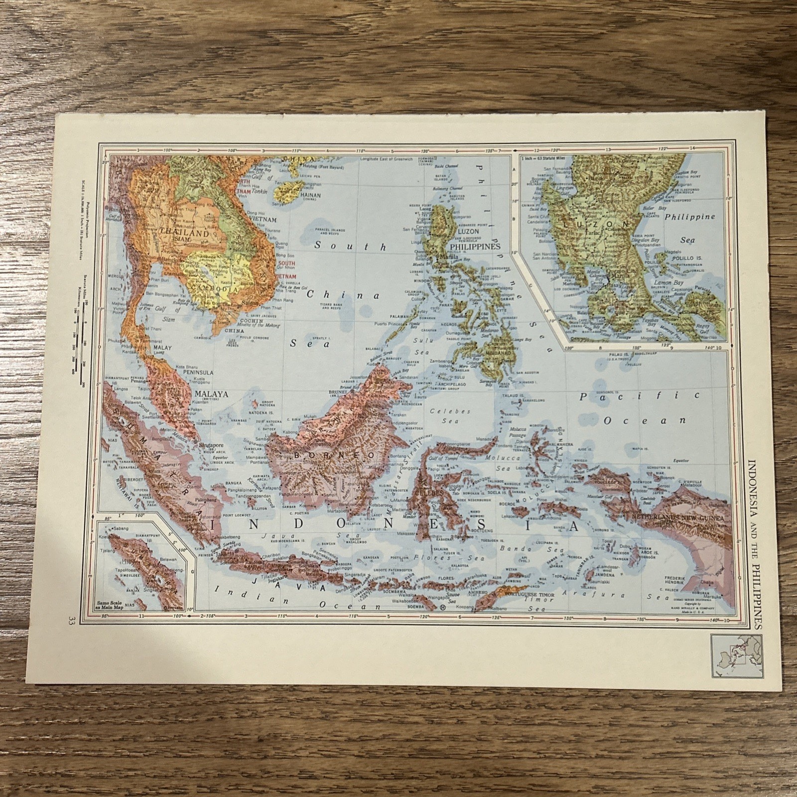
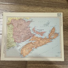
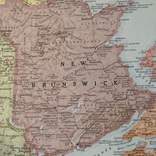
Antique 1956 Map Of Maritime Provinces 14”x11”
USD 25.00
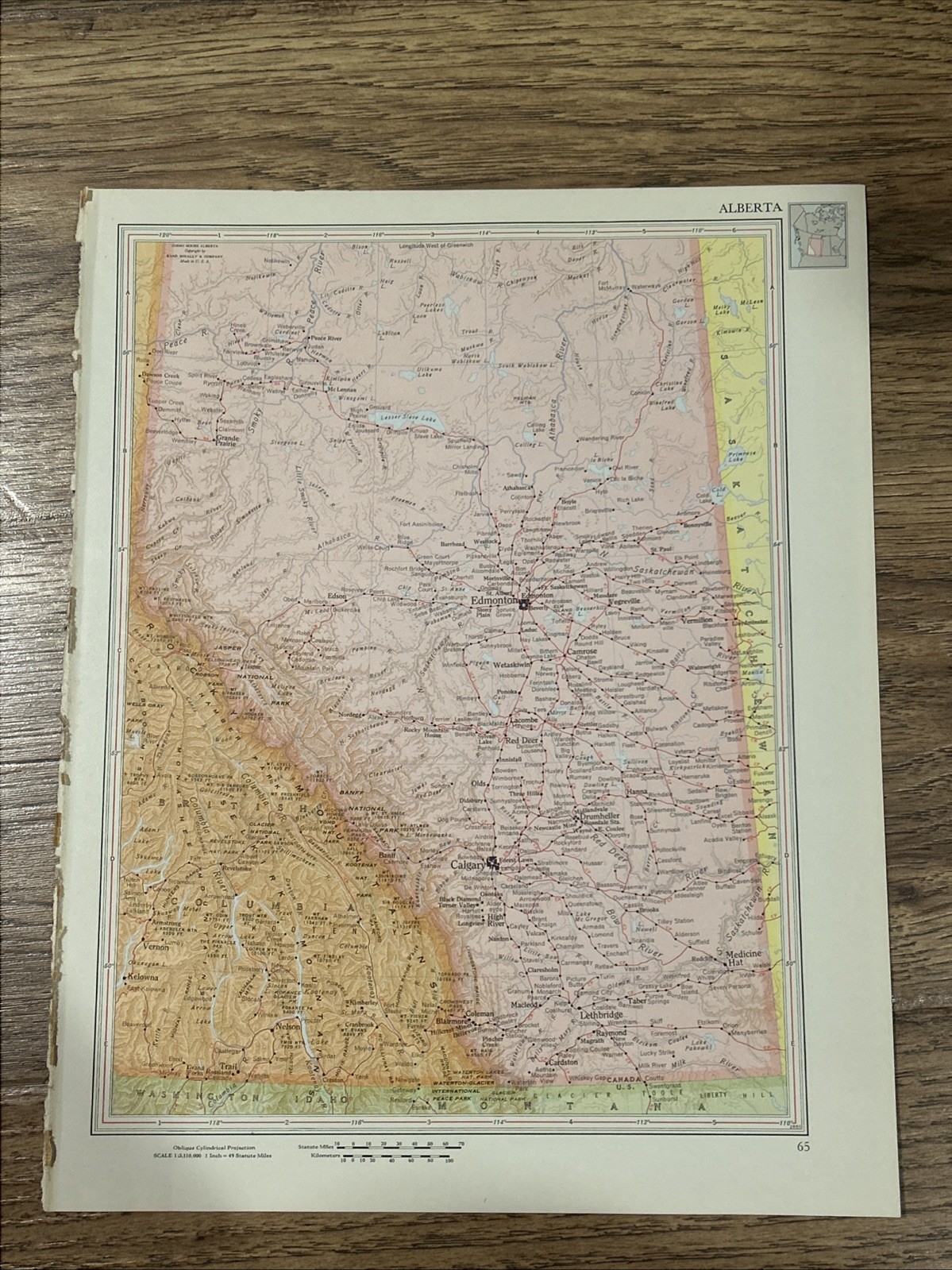
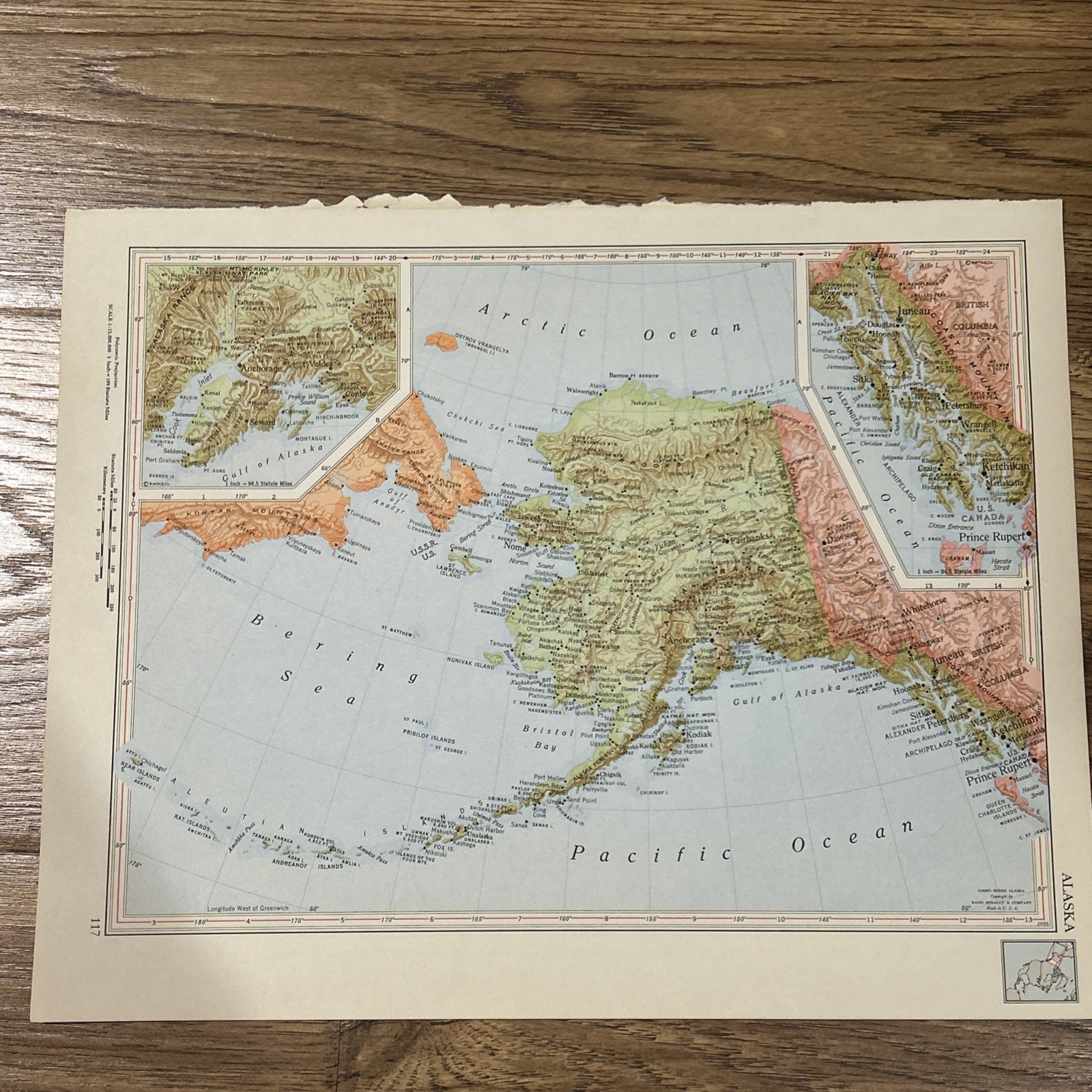
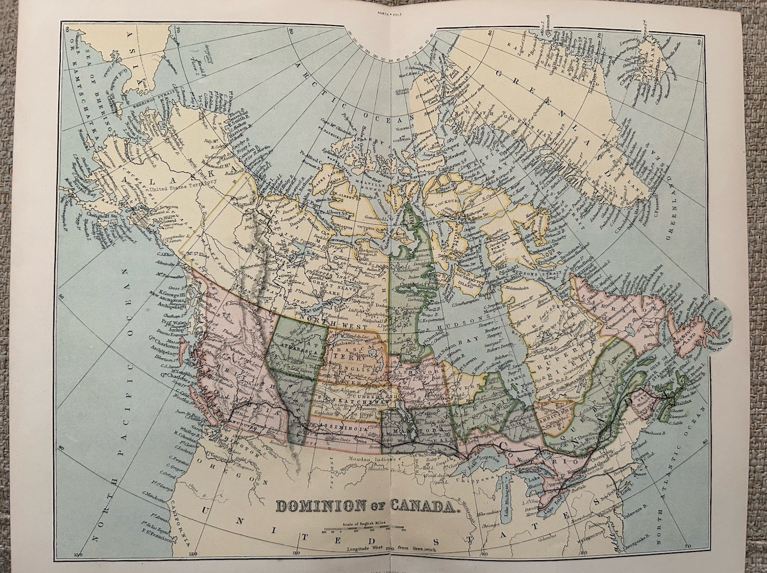
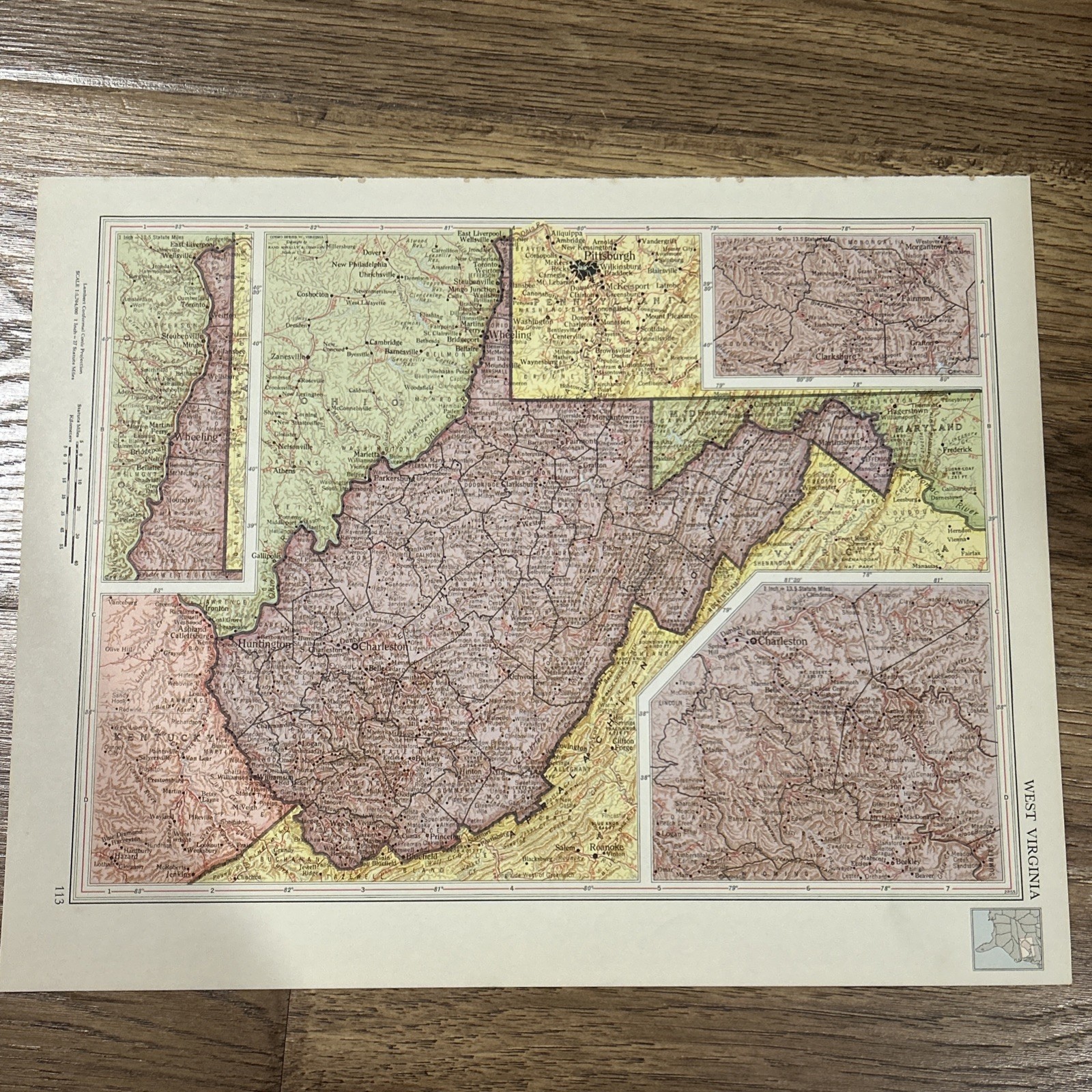
The product is an antique 1956 map of the Maritime Provinces, measuring 14”x11”. This vintage political map of Canada from the 1950s offers a unique glimpse into the geography and political divisions of the region during that time period. Perfect for collectors or those interested in historical maps, this original piece captures a snapshot of Canada's past.