See more
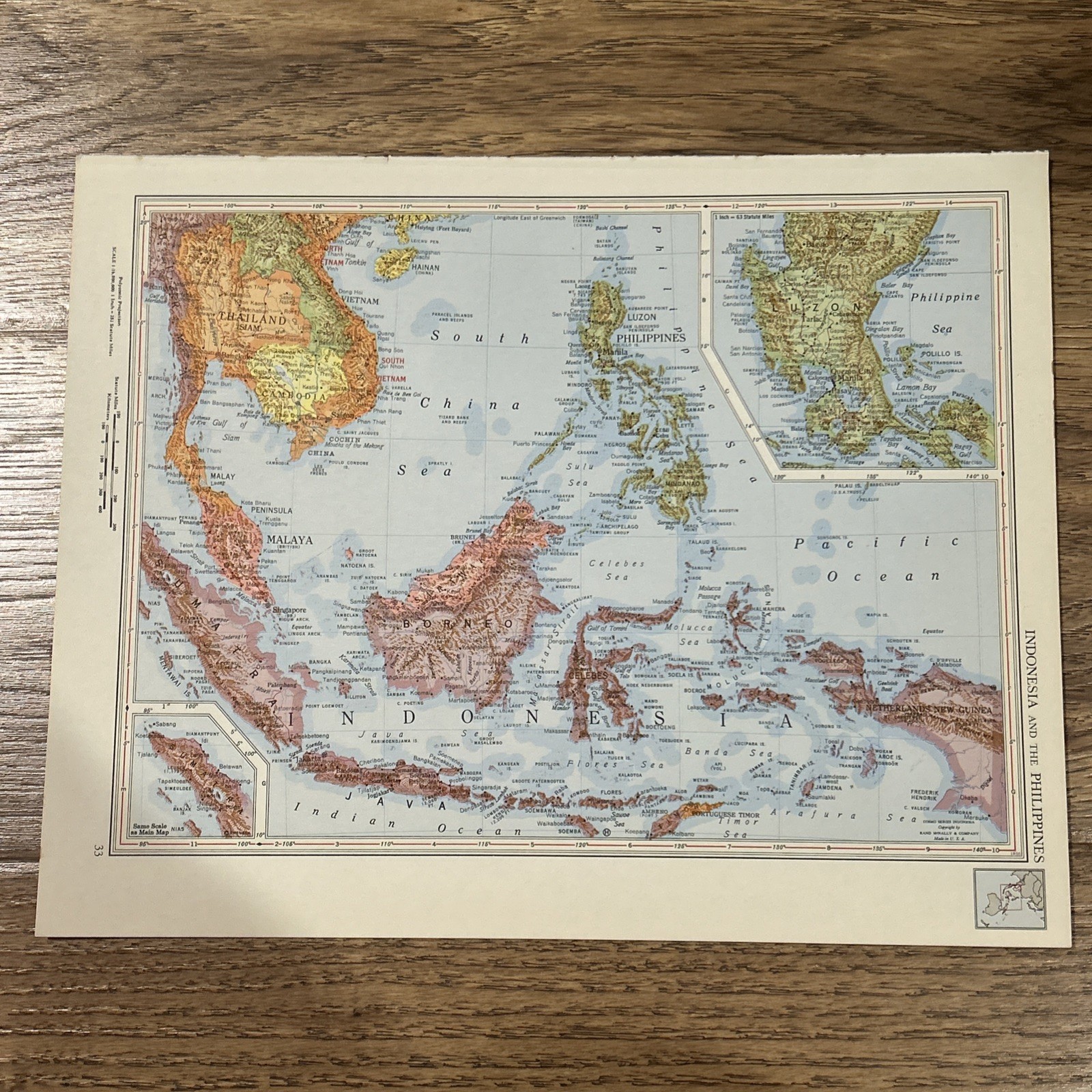
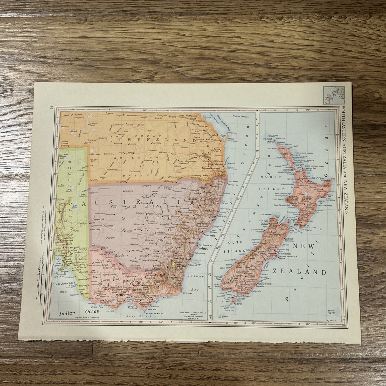
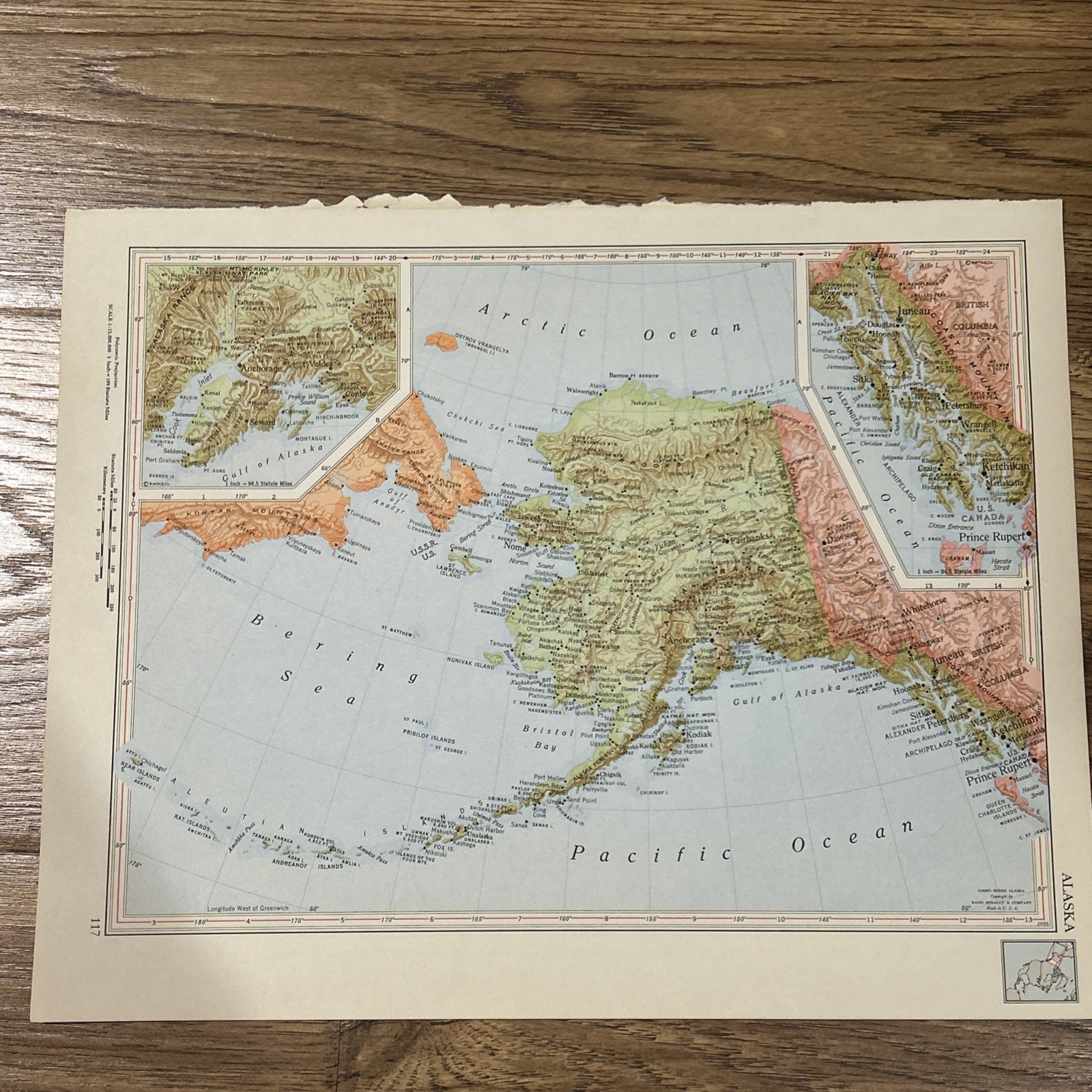
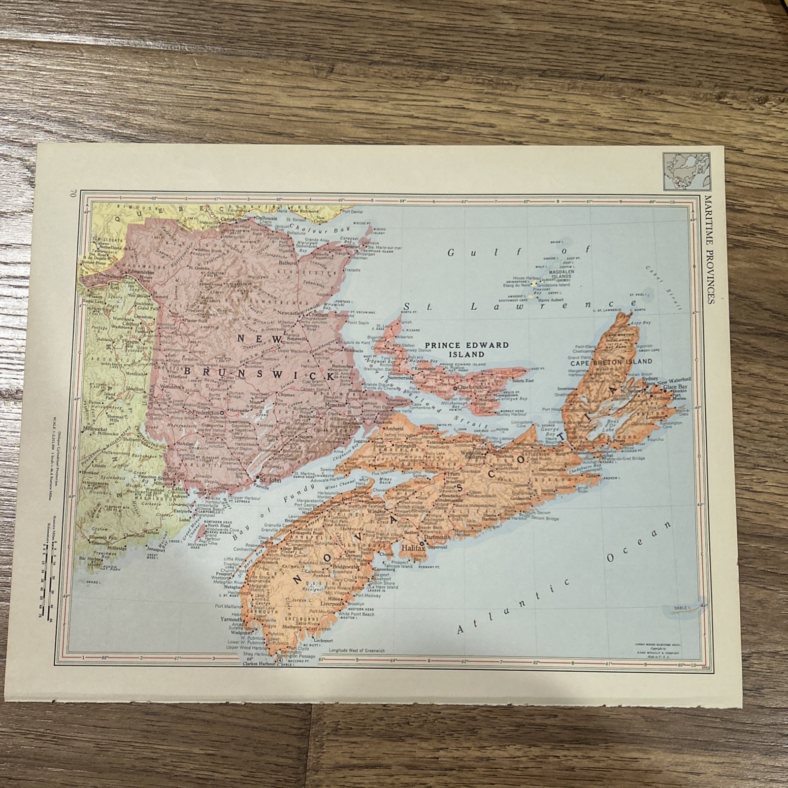
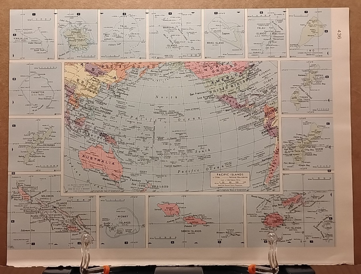
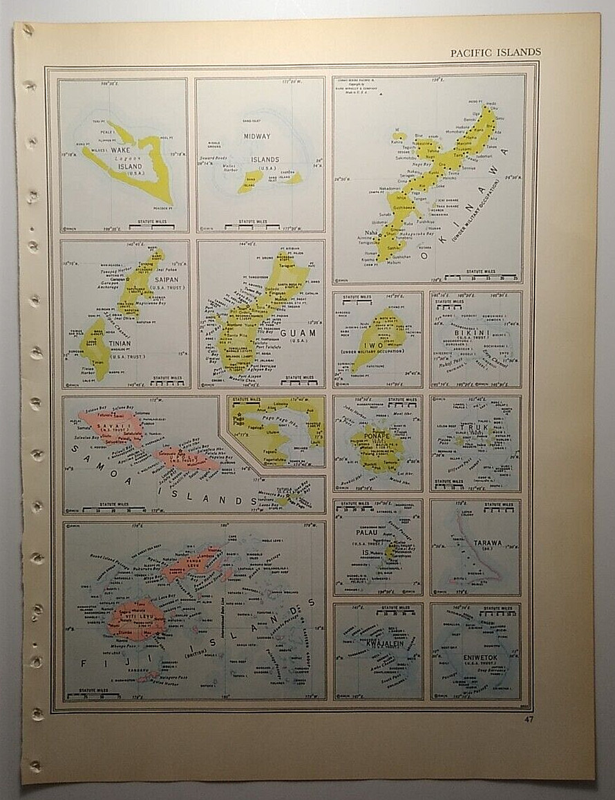
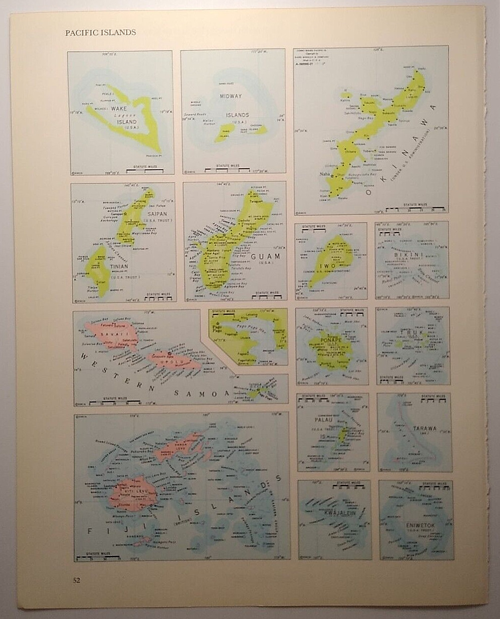
Antique 1956 Map Of Pacific Islands 14”x11” (Two Sided)
USD 25.00
This antique 1956 map of the Pacific Islands is a vintage political map that showcases the geopolitical landscape of the region during the mid-20th century. Measuring 14”x11”, this two-sided map provides a detailed and historical perspective on the Pacific Islands, making it a valuable collector's item for those interested in cartography and antique maps. The original reproduction adds to its authenticity and charm, making it a unique and sought-after piece for enthusiasts of North American maps and atlases.