See more
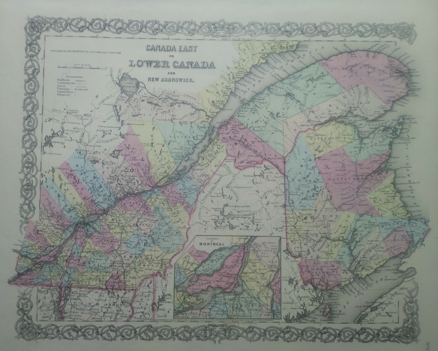
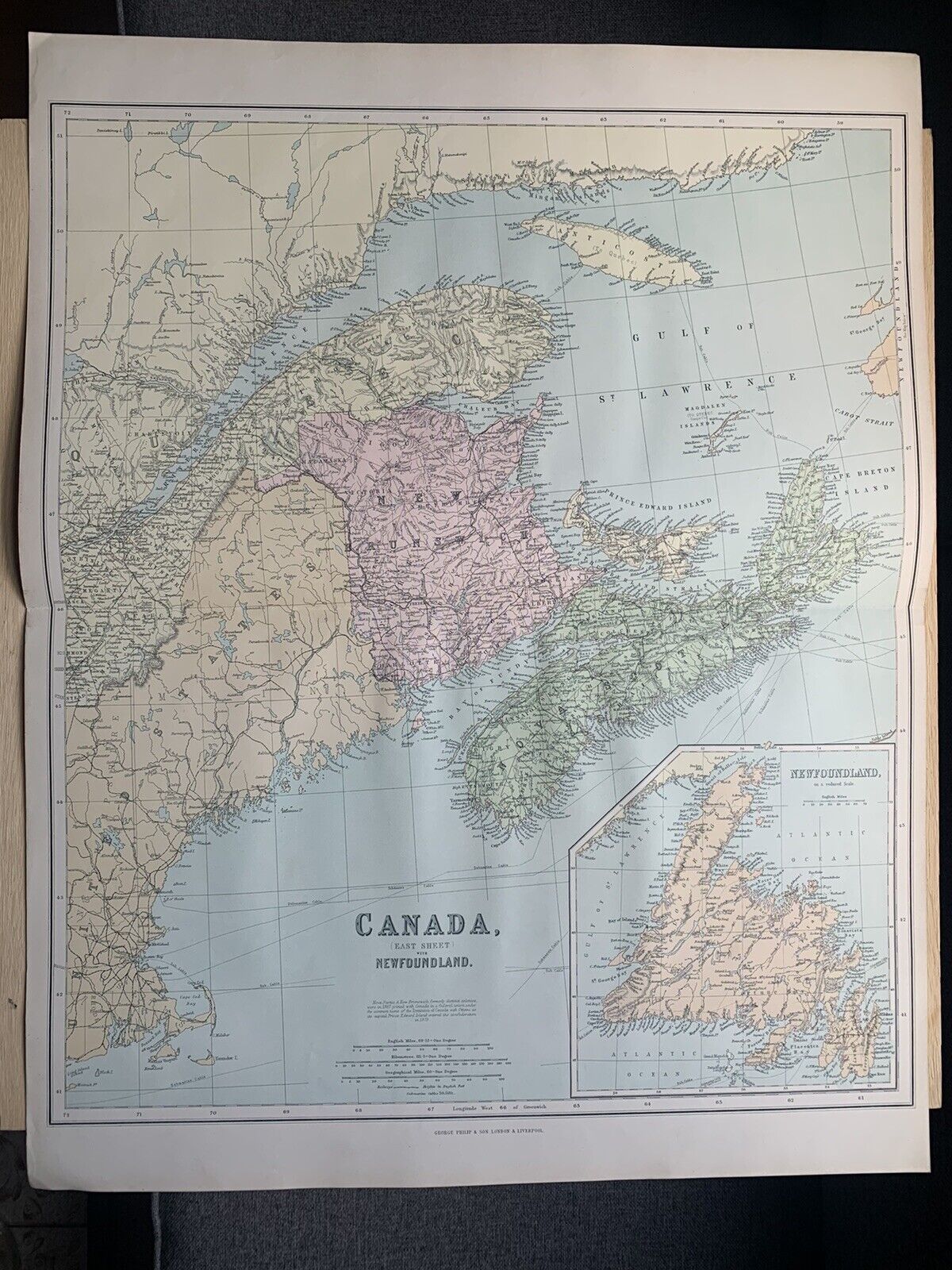
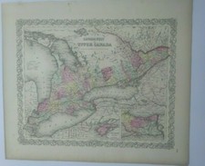
antique map Canada 1856 Colton's Maps 1st edition
USD 49.99
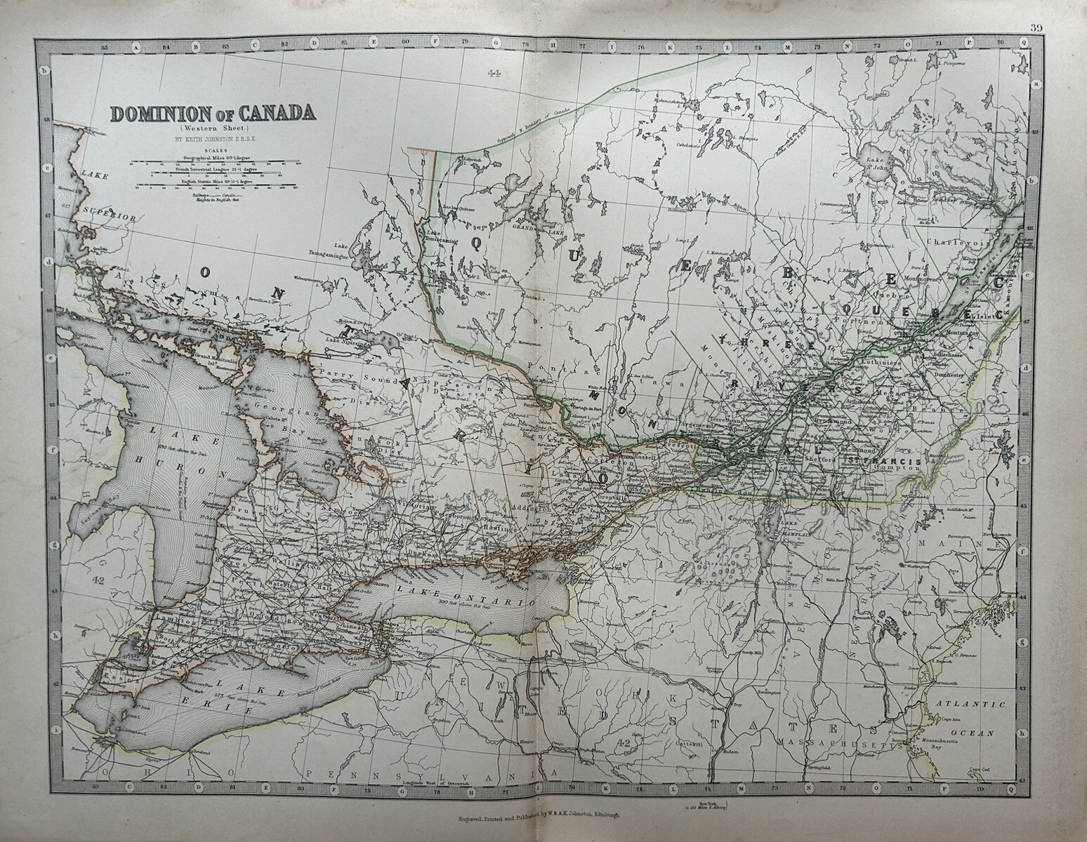
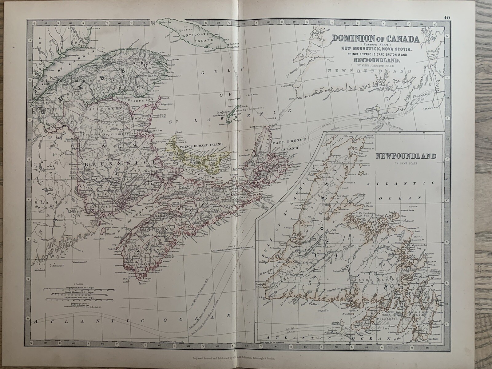
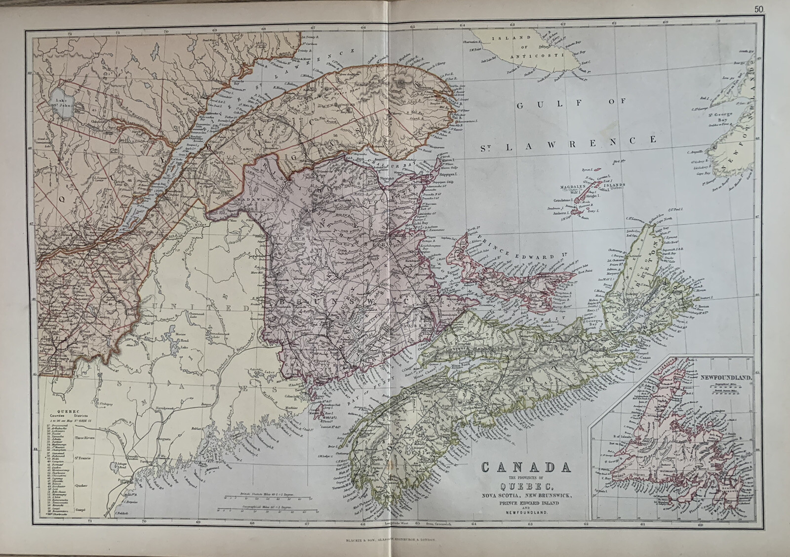
Publisher: J.H. Colton & Co. Date: 1856 First Edition (on the map it says "Entered as an Act of Congress in the year 1855" but the atlas was published in 1856). Size: 13" x 15 1/2" (including margins 16" x 18 ") 33 x 39 cm (including margins 41 x 47cm).